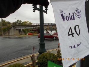
And we’re off! Arrived at the Sheetz gas station I had previously scoped out around 8:45, to be sure I had time to spare. After some final checks that things were secured where they needed to be, I pulled to the pump and with 5 fresh gallons on board, I had my start time of 8:51 a.m. Fire off the start text to the rally master, and head west on Rt. 30 for about 30 minutes to York, PA. On the exit ramp, I check for the SMS reply acknowledging the start text… and there isn’t one. Call the Rallymaster and get generic voicemail. Uhm, that’s weird. Let’s not take a chance and call the other RM phone number. Gary says that Scott’s phone is very busy, but when I recite the number I had programmed into the phone, I’m referred back to the rally pack. Fair enough… DAMN! mistake #1, I programmed the WRONG phone number into the phone! Copy & past the text into the right number, and almost immediately get the “K” response back at 9:18 a.m., less than 2 minutes before incurring a penalty.
A few turns from the first bonus, The Shoe House, and I see some other riders headed in the same direction (this is a good sign) and park so that I stay out of everyone’s way. I didn’t want to be “that damn rookie” folks trade stories about at the end.
Mistake #2, thinking the back pouch on the Alpinestars jacket was a good place for my rally book. Picture a large man doing a comedic imitation of an emperor penguin trying to get a “Kick Me” sign off his back. I’ll be taking this jacket off at least twice more to get at the book; must start thinking of alternatives during the next leg.
Mistake #3, failing to preload waypoints into ANY GPS.
 After confirming that Waze isn’t taking voice instruction, I start tapping the address of the next location into the tablet’s small on-screen keyboard. About 10 minutes late already with the SMS and pouch issue, there’s 69 minutes to the Highway Historical Marker (“HHM”) for the Tapeworm Railroad, the first (relatively) long leg of the day.
Mistake #4, using a GPS with “direction of travel” UP means not necessarily knowing to start off to the left or the right. This will burn me a few times during the ride.
I will also be scolded by the scorer for poor composition of this (and some of my bonus photos (the lack of prominence of the subject.)
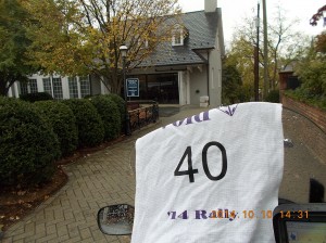
More riders in sight approaching the next location, the Elephant Statue at Mister Ed’s Elephant Museum in Orrtanna, PA. It’s helping my confidence this early into the ride to that I’m keeping pace with the others.
 I had planned to stay on the Interstate to get this pic, my ride plan even had the lat/long of the spot on the shoulder I found on Google maps to avoid the extra thousand or so yards to get to the driveway on the side street. I’d love to tell you that the spirit of the rally made me go the extra distance. I can probably say with a straight face that seeing other riders already there as I approached the exit on the northbound side influenced my decision. But the kicker probably was the approaching cold front with hundreds of miles of rain that lay ahead, starting with 145 miles to the next bonus. The safety of that business’s parking area seemed like an ideal place to put on the rain pants and find a more suitable place for the book. I decided that stashing it under the TourMaster tail bag bungee’d to the back seat was most practical. I just hoped it survives the ensuing weather.
Now, off to the longest leg so far Shippensburg, PA to Staunton, VA for a cluster of 3 bonii in the small town.
 Coming off I-81 and following the short secondary road into Staunton, and looking for a Giant Watering Can, I spot a familiar woman with a (familiar) dog standing on the corner across the street. I had given my wife, Virginia, and some other friends the Spotwalla page for the rally and my ride plan for safety and comfort measures. It seems that Virginia and the frat brother she had been visiting while I was entertaining my crazier side, had tracked me down to cheer me on. She (and the dog) were standing on the corner in the far left of this picture, and her friend was waiting by the pick-up in the gas station parking lot from which the picture was taken.
I nearly got knocked by the scorer for how far away I was, making the can difficult to see in the photo, but it was exciting to see them, there was no way I was going to simply stand across the street from them, snap a pic and head off. A few hugs, and tail wags later, I was off to the Woodrow Wilson Presidential Library for the next stop.
The GPS orientation bit me again, as I drove toward the watering can, and saw the GPS map turn around and start redirecting. Turns out, the museum was two (now three) blocks behind me.
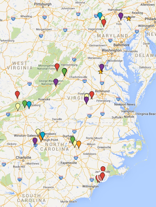
I was afraid to pull into the driveway here, not knowing if security was going to rush out (I assume Secret Service protection ends at death, but I’m not taking that chance!) Another complaint from the scorer about how hard it was to see the limo behind the glass (yes, there’s a Pierce-Arrow limo behind the glass, when you turn the screen brightness all the way up 😉
I chose to use the address I had plotted for the next bonus, then realized I was going much farther than I should have. Roughly five minutes out, I’m told I’ve “reached my destination.” Not! I revert back to the Lat-Long coordinates from the rally book, and sure enough, four minutes back towards town.
If you’ll notice, this thing is tucked tight behind shrubbery, and I was lucky to have seen another rider packing up for his next leg, so I stopped. You can see the GPS’s and my tablet clearly in this shot, at least one of these will be right for each stop, here’s hoping I trust whichever one it is for that leg!
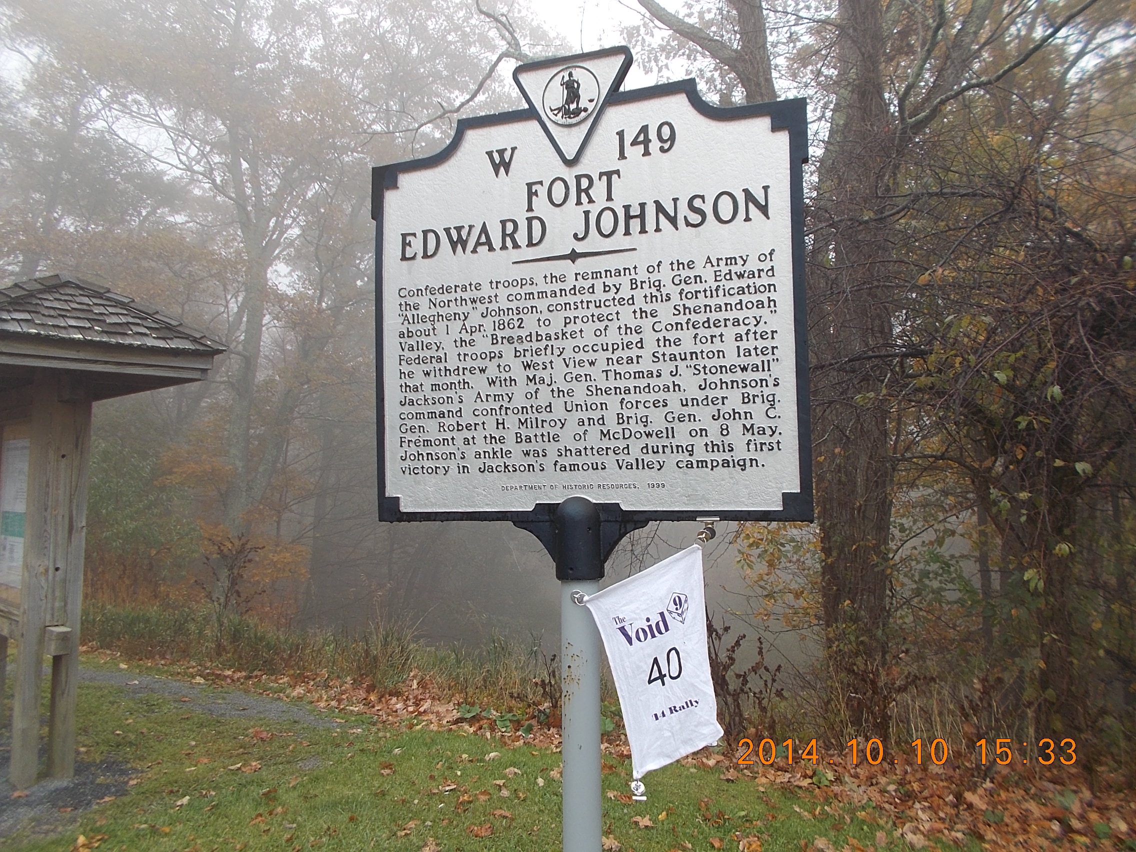 Fort Edward Johnson was only a 33 mile detour out of town, but I figured one hour for the 6 points was worth it, so up Hanky Mountain Highway I went. An increasingly windy mountain road, this would be a lot of fun if it weren’t raining…
…in the FALL……with all those wet leaves all over the road.
I did have the first occasion to explain to someone what the hell I’m doing riding up, hopping off, pulling out a flag and a camera, furiously writing in a binder while trying to keep it dry, then tapping away on a mobile command center. I told him about eighty of us were scattered around east of the Mississippi having fun this weekend.
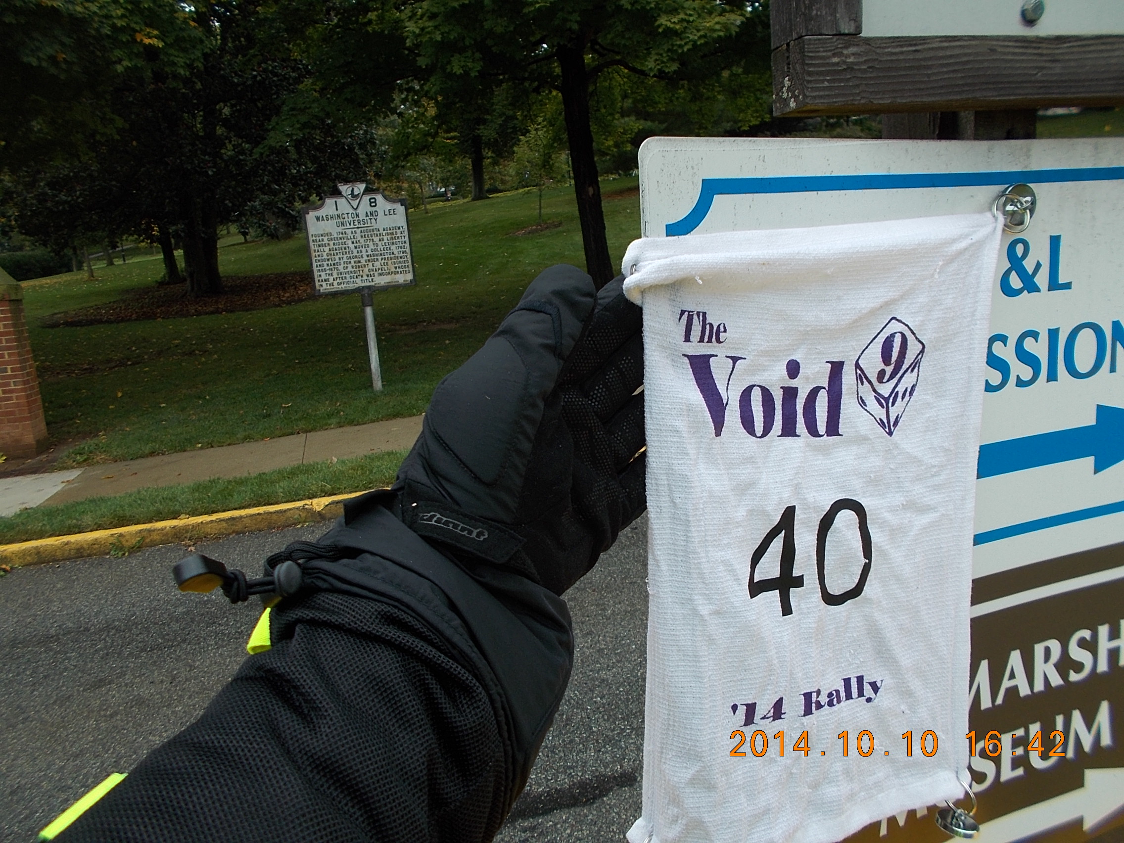
About an hour south is the town of Lexington, home of VMI (Virginia Military Institute) and Washington & Lee University. This might have been very easy, but something tells me the RallyMasters knew that there would be hundreds of families visiting these campuses this weekend, making getting in and out of town challenging. At least it wasn’t a parade!
There was a bonus Blacksburg (Lane Stadium) that was more or less along the way, but Washington & Lee was a 1-pointer, and there lie ahead of me, in sequence, 2, 3 & 4-point locations for the Yahtzee Small Straight. Blacksburg would be dismissed.
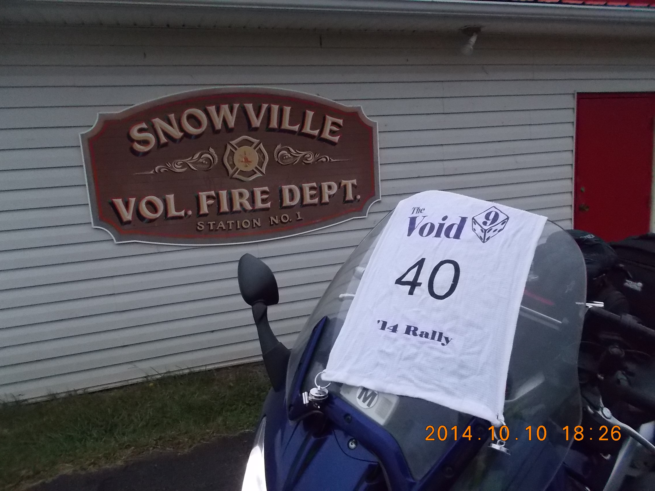
The Route to Snowville was one of those amazing twisting, rolling country roads that riders love. Again, had it not been for the rain and leaves, the revs would have certainly been higher, and the heightened pulse would be attributed to exhilaration rather than anxiety.
This time, a rider would be arriving just as I was headed away. That somehow made me feel better than following someone else; but he probably had a later start, which meant I needed to get moving.

With Waze as my guide for fuel options, I filled up just enter then ran into town to get Pulaski Bikes LLC, just after sunset, as they were bringing all the bike inside for the night.
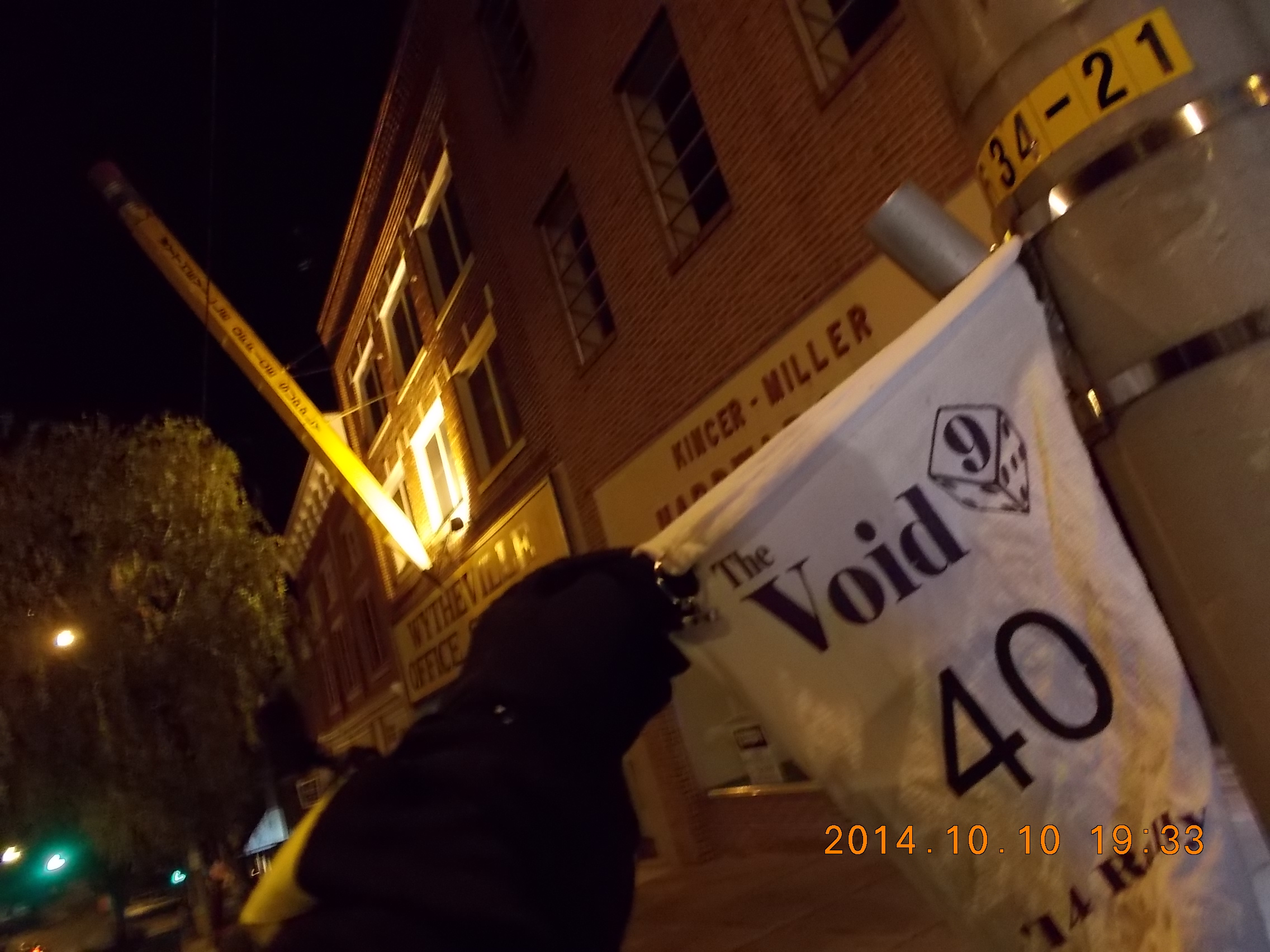
Another log entry, and off to one of the few bonus locations I’ve read about in past ride reports, the Giant Pencil hanging above Wytheville Office Supply.
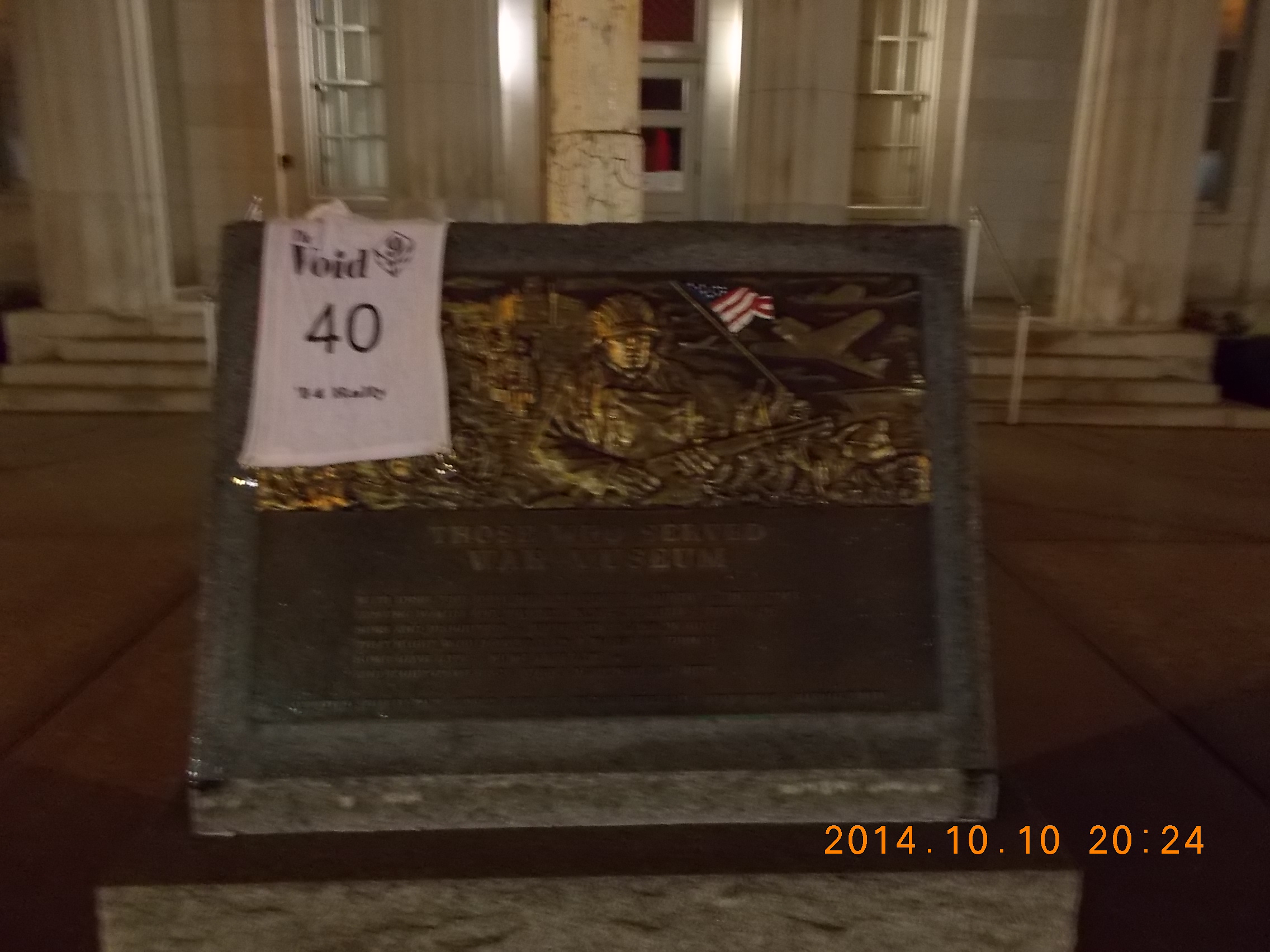 The next stop was another venture from my main planned route, the Those Who Served War Museum in Princeton, WV. There was nothing so far that made any of the roads seem unfamiliar, even though I had never been in this part of the country before. This would change on the way to West Virginia.
The 40 or some miles north on I-77 crest the Appalachians, and I’m convinced it’s called the Blue Ridge due to the copious amounts of blue water falling from the sky. Up into the mountains, where it’s not fog, but clouds you ride through. Tunnels, and slick roads that follow the winding changes of terrain. It would be dark and cold by the time I made it to the museum, with the memory of the conditions that I would have to return through still fresh in my mind.
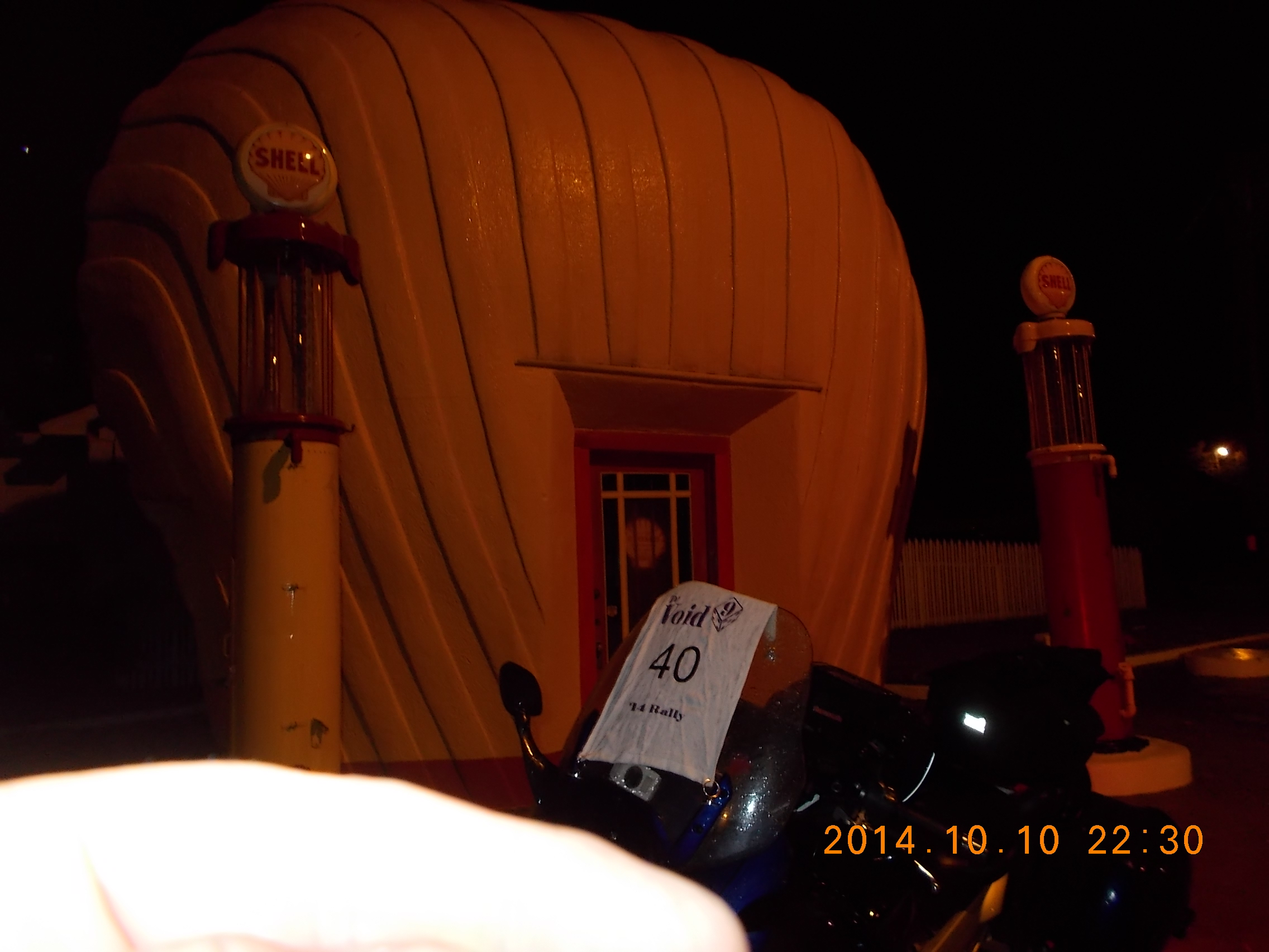
The worst of the rain would come on the way back in to North Carolina. Another long leg to Winston-Salem, to a real blast from the past, the last of eight shell stations that were modeled on the brand logo of Royal Dutch-Shell Oil. Constructed of concrete stucco over a bent wood and wire framework, the station on Sprague Street survived through the 1970s and ’80s as a lawn mower repair place. It slid into disrepair towards the end of the 20th century. A state historic society, Preservation North Carolina, stepped in and restored the faded highway icon in the late 1990s. Today it’s used by the organization as a regional office and info center about the station and other preservation projects.
I desperately needed gas at this point, so I stopped at the working gas station on the way back to I-40. Not a good neighborhood, but as I filled one tank, I also really needed to empty another. I wasted very little time after being handed the restroom key attached to what looked like a (full size) Louisville Slugger. Following a very distracting phone call, I wasted no time getting back on the highway.
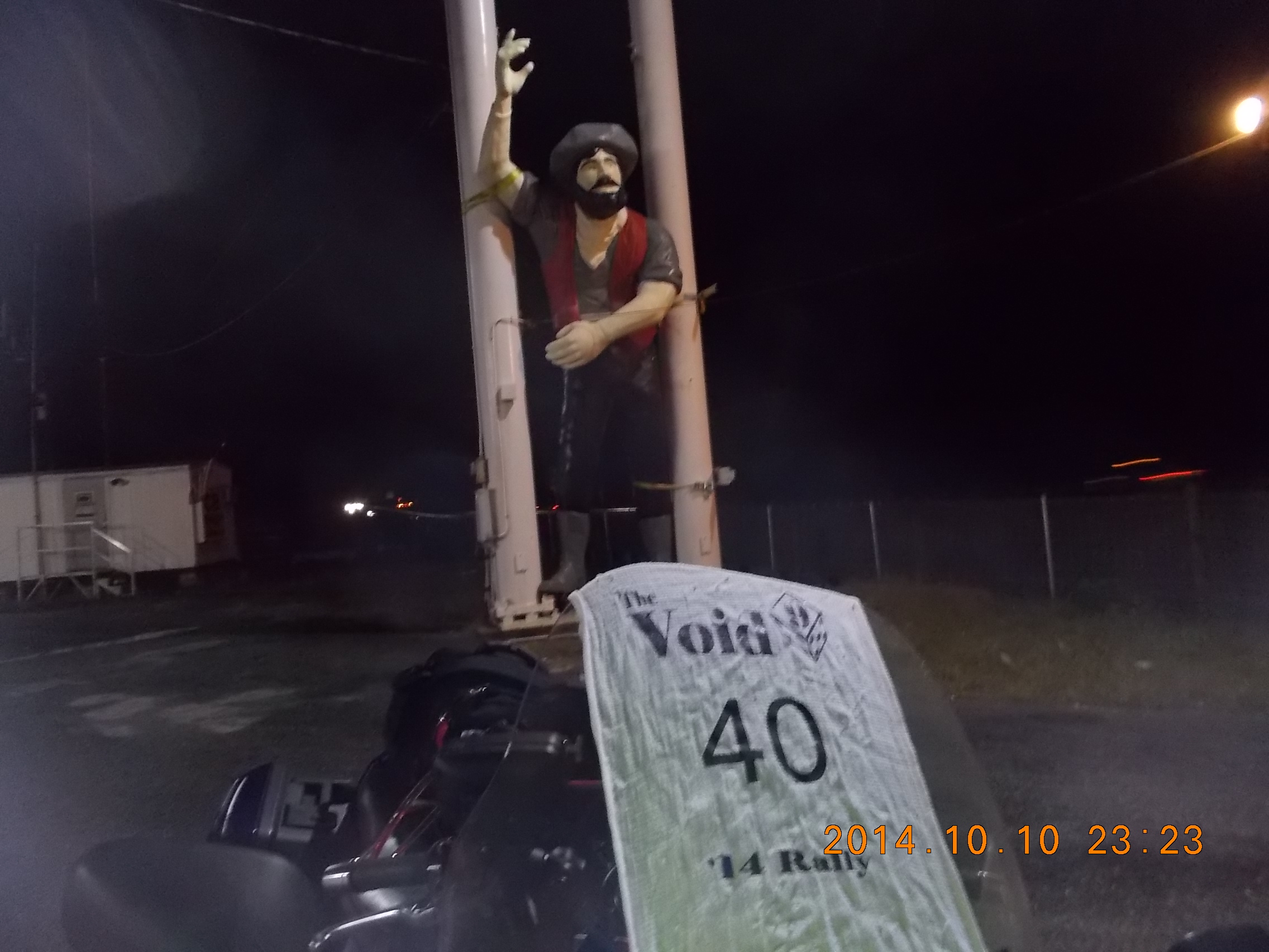
Following a very distracting phone call, the 30-minute trip to Bill’s Truck Stop in Linwood, NC was difficult to maintain my concentration, but the weather forced my to do just that. The rain started to taper off, but I still took my time around the truck stop, figuring diesel droppings + rain would be dangerous. Being used to the truck stops along I-95, I just took the photo and got back on the road before I heard banjos.
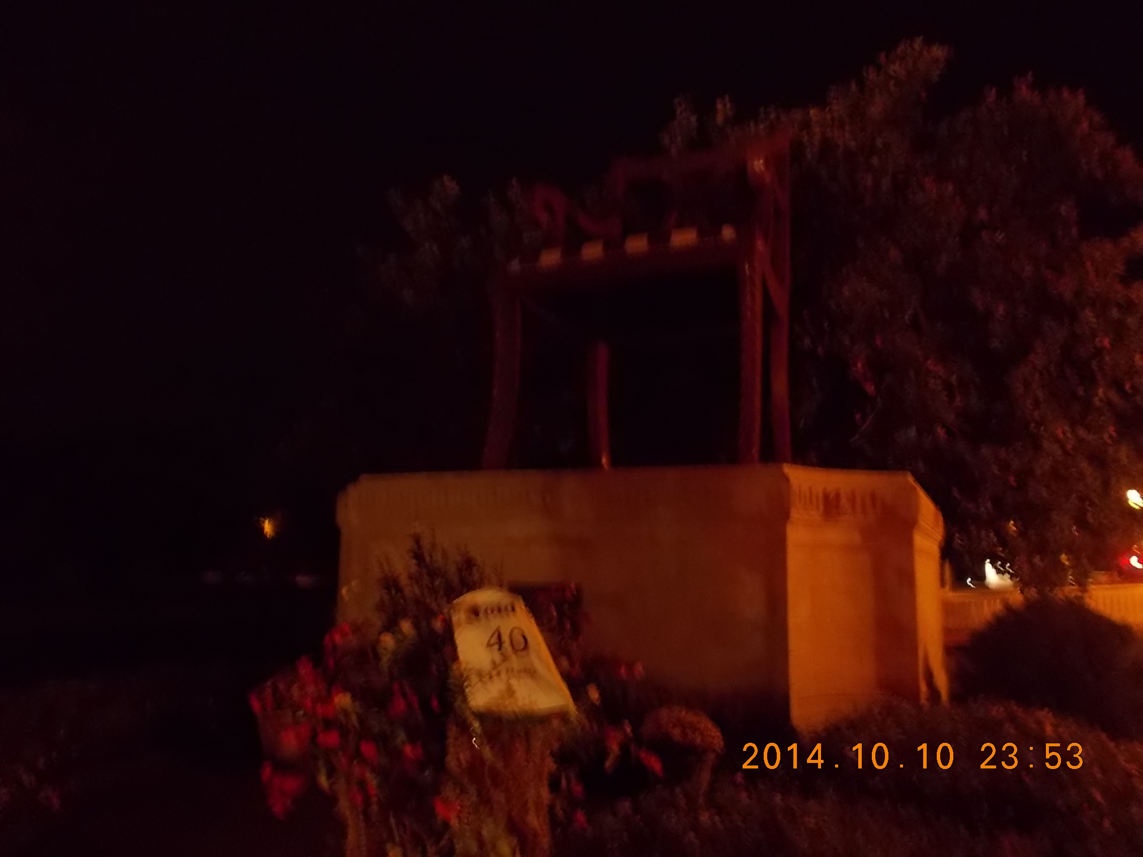
Off to Thomasville, NC, where every piece of furniture in the U.S. is made (that’s a fact I found on the Internets), and of course the next bonus would be an example of just how important that industry is to this region, the world’s largest Duncan Phyfe Chair. The kind of chair I wish I had an any holiday family function; now that’s elbow room!
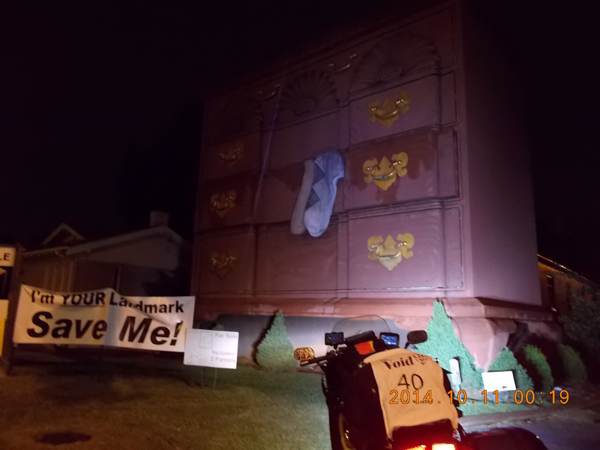
82 miles to the next ridiculously sized monument to furniture, the Goddard Block front chest in High Point, N.C.
By now, I am also realizing the significant advantage of nighttime riding. I can only imagine how much time I would be losing if I were travelling around these cities during the day. I much prefer the desolated ghost-town nature of deserted streets. Watching out for distracted or otherwise dangerous drivers is so much easier when they are so few of them around.
Collecting this bonus also meant the start of the Yahtzee Long Straight I had mapped out. As late as it was, the empty roads begged me to stretch my new long-distance legs another 240 miles before stopping for a rest. The Long Straight bonus points won by starting in High Point, running through 3 towns around the Raleigh-Durham area and then southeast to the coast in Surf City were so tempting that I decided that I would push on. I also figured I’d find some motel in the surf town before turning north towards the finish.
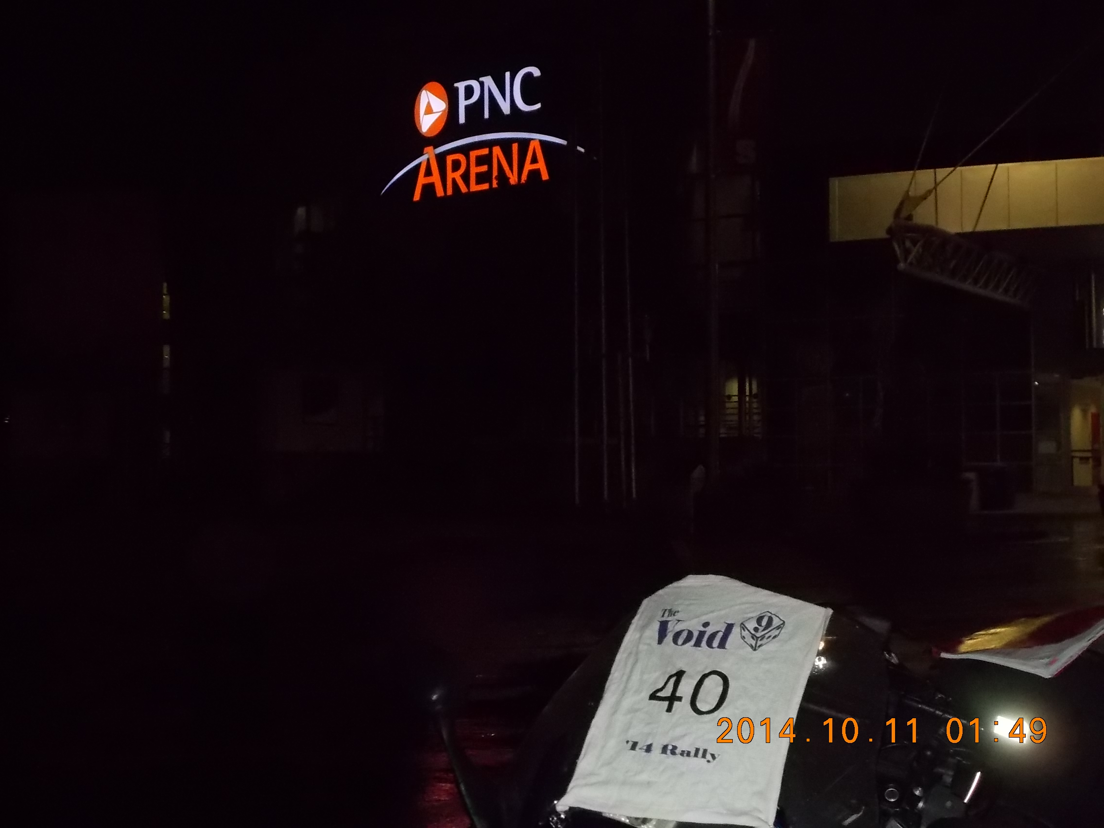
In 2004-2006, I lived in the Raleigh area, so hitting Durham meant finally seeing some familiar places. Some new roads, but still familiar. I knew where the PNC Arena was and I knew how to get in and out of the area with ease. I did take a short hydration and snack break, as I double checked the next couple of locations. There’s a lot riding on this combo, and the last thing I wanted to do was miss a bonus – or get one out of order!
Because of the combo bonus from the long straight, I passed on the Opie and Andy statue (something I wanted to see) which was probably just as well, since it would have been a small hike from where I could have parked the bike.
I’m at least a couple of hours behind my plan (Mistake #5, was failing to add in time for the actual stopping to collect/log/fuel, which has added up quickly.)
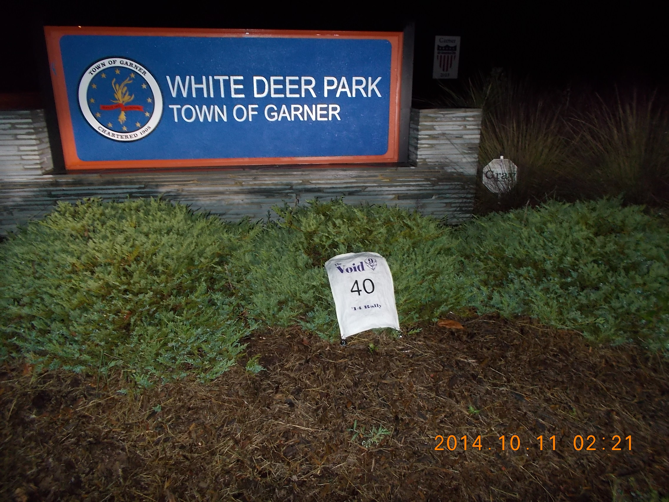
Buried in suburbia south of Raleigh, was White Deer Park in Garner, N.C. As I leave here, I can’t help thinking what inspired this stop on the rally? I can’t imagine a more nondescript location to send us!

Arriving in Clayton, the LEO Silhouette was a sight to see. I was happy about the fact that this was the town’s police station, as the earlier hydration break made finding a restroom important, and a police station seems like a safe place to leave the bike and all its relatively insecurely attached gadgets. Disappointment set in when I could not find an open door. On the way out of town, a park seems to be the site of a big BBQ festival, and the overnight smoking and grilling was under way. Did that smell good!
Time to make my way back to I-40 for the last leg of the straight. Stopping for fuel and staring down 2 hours of the (ironically) straightest stretch of road in the state. My ETA was 5:00am, but I didn’t feel tired. I know tired; I’ve done many weekend long migrations in my professional life, and I recognize the signs. I was pushing myself physically, but mentally had no problems forging ahead. TO THE SHARK!

Leaving the highway and hitting Rock Point was like walking into a steam room. It had been chilly and damp for 20 hours now, but now the (relatively) warm ocean air was doing battle with the chilly air behind me. As I unzipped the jacked to cool off, I rode into the thickest fog bank I can recall seeing; even worse that I remember from San Francisco! Slow down and get to the destination safely was my priority. These local roads looked shorter on the map, but finally, I found the shark! Elated, I thought about the string of big 6-point bonii that lay ahead through these surf towns headed north. I figured I’d find one of those motels I counted on along the way, hoping to get as far north as I could to avoid the morning traffic in this area.
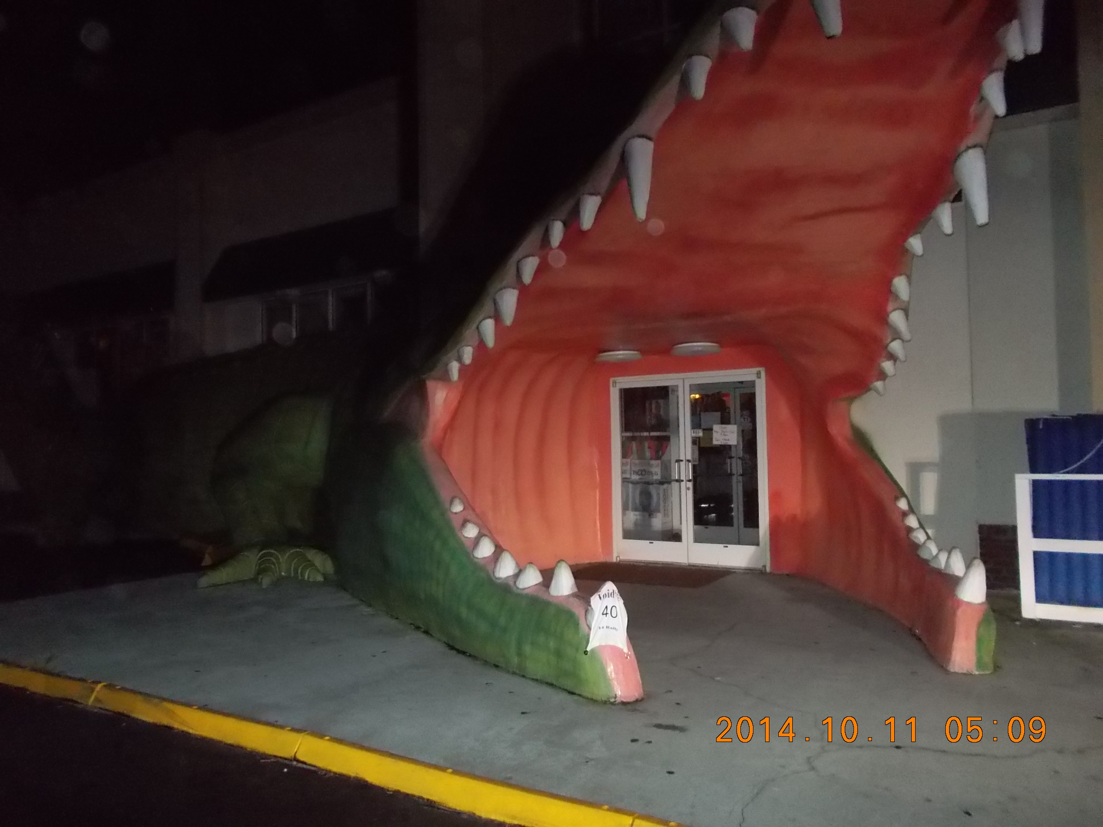
Another giant fiberglass creature, this time the Giant Crocodile at Waves, the surf store (I remember this chain from the golf trips I’ve taken to Myrtle Beach)
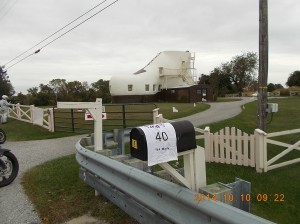
It was a bit challenging to frame this photo and still have the number on the flag visible, but this worked.
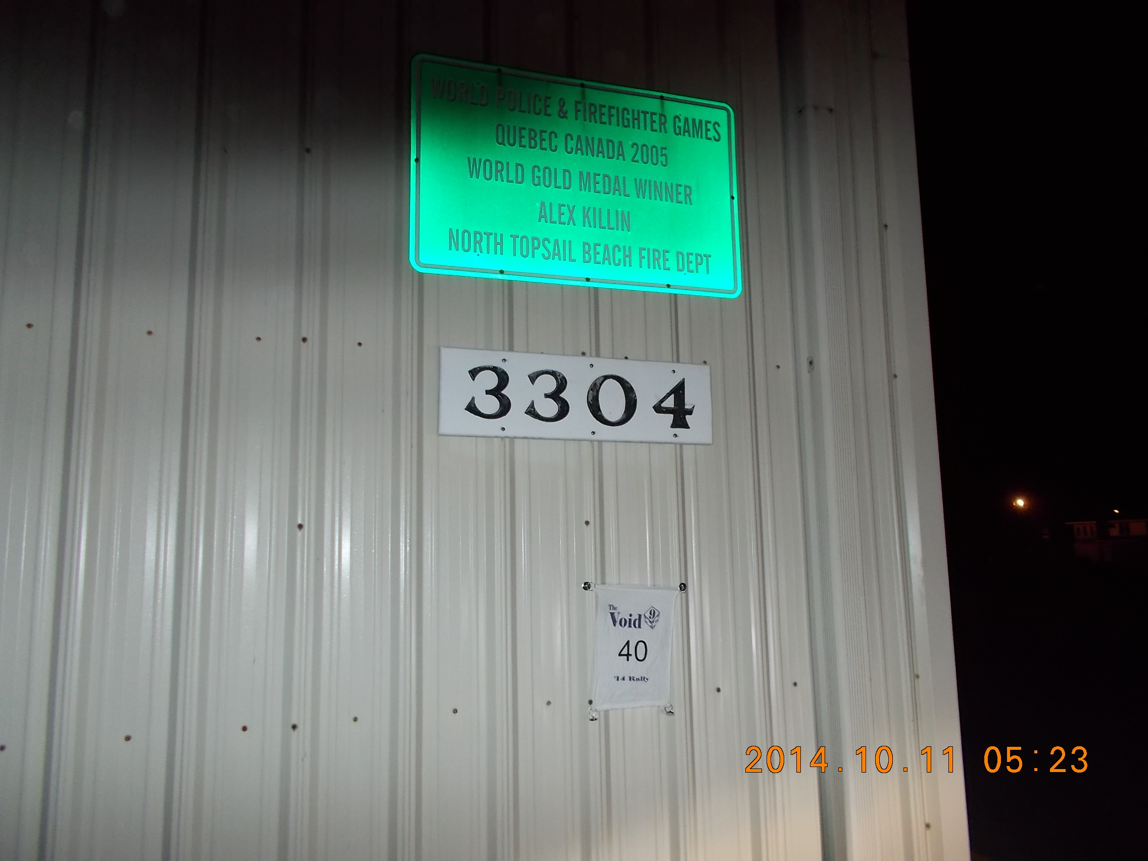
Off to the North Topsail Beach FD in Sneads Ferry, N.C.
to take a picture of the sign that recognizes Alex Killin as a Gold Medal Winner at the World Police and Firefighter Games held in Quebec, Canada 2005.
OK, whatever. Now I’m positive there’s no discernible theme to this rally.

Another giant shark at another surf shop (still in Sneads Ferry), but I’m not finding any motels…
This could be a serious problem. I’m concerned since I’ve never done anything like this before, I don’t know where the wall I may hit lies.
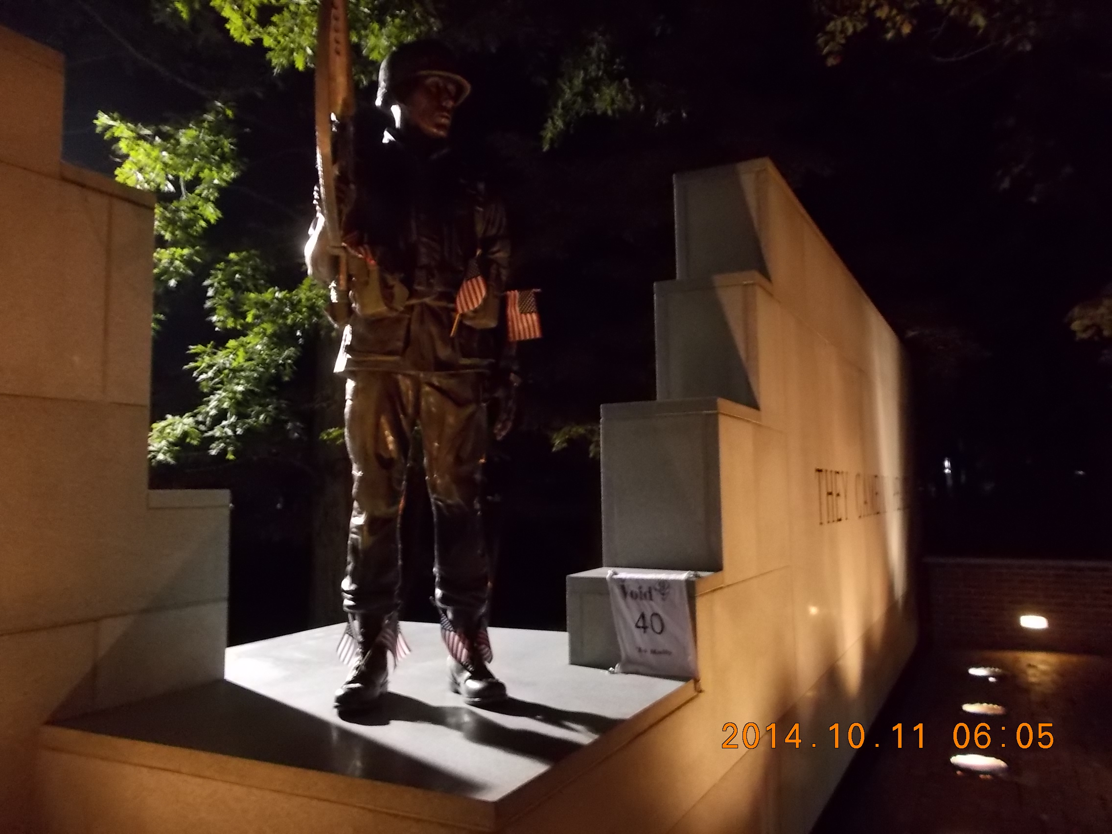
Having not found any place to sleep for the three hours, I head towards Camp Jejune in Jacksonville NC to stop at the Beirut Memorial to photograph the statue of the Marine centered between the inscriptions “Lest we forget” and “They Came in Peace.”
There’s what looks like a registration table for a charity run in the memorial’s parking lot, and the way they looked at me, I expect not many riders have been around here lately. I keep to myself, and quietly head back to the main road.
It’s now after 6:00am, and I really need to find a place to nap (and document the mandatory rest period of at least 3 hours.) I head along the route to the next bonus, thinking I’ll stop at the first place that looks hospitable. Well, the thing about GPS’s that select the fastest route is they may take you through some very rural areas if it’s quicker. Town after town, county after county, the only places I see are farms, junkyards, and the occasional (usually closed) gas station as the Sun is steadily rising to my right. I stop at one gas station in the first developed area I can find, then ask about a motel. The best guess they offer is 25 miles in west, as I need to head east, then north again. Thanks, but I think I’ll keep headed towards an Interstate.
Finally, I-795 ahead! There’s bound to be some of those blue signs that tell you what food-fuel-lodging are available at the nest exit. Sure! There are blue signs; EMPTY blank signs for the first two exits. Wilson lay ahead, and it must have something. Sure enough, plenty of choices t the third exit. I pull to the shoulder of the off ramp in front of the sign that tells you how far left or right each hotel or motel are – and evaluate the many choices. Country Inn & Suites, 0.1 miles to the left. My wife and I usually stay at one of these on the way to Atlantic city, so it felt like a good choice.
It’s now about 8:00am as I pull under the car port, and dash inside to explain my plight to the young lady at the front desk. She can’t let me check in until 9:00am. Dumbfounded, I assure her that I will be in and out very quickly and quietly, but I really need a nap (and a receipt!) She continues to dismiss me, so across the street I go.

So, the Crewe Railroad Museum must have and administrative office or some mailing address a few blocks away, so after switching to the GPS with the lat/long entered, no problem.
With my phone in the display pocket of the tank bag fixated on the finish line, the current ETA is looming VERY close to the 3:51pm deadline, and I still have to pick up 2 of the last four bonii for the new score plan to work out right.
I would find out after the finish that one of the bonus I chose to pass on was one I actually passed as I was leaving Crewe. I’ll chalk that poor decision up to sleep deprivation.
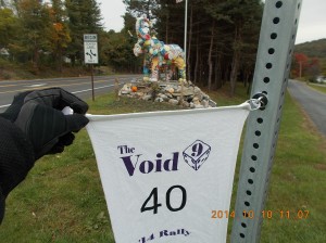
And I get turned around again! And I miss the U-turn due to a bit of GPS lag (and my rushing) so I make use of a gravel cut through the median to get back on track. Since I’m running late, I pick a safe place to stop (that was recommended in the rally pack) and take a long-distance shot (and again get the finger wag from the scorer, but it’s passable.)
Another U-turn from the photo op, and I’m back to the intended direction of travel. And I’m running on reserve. So, on the way to the next bonus, I stop for gas at an incredibly busy gas station, and finally put the liners back into the jacket.
One last stop in this part of the state before the last leg to the finish line. I pick a safe place to stop and take a long-distance shot (and again get the finger wag from the scorer, but it’s passable)
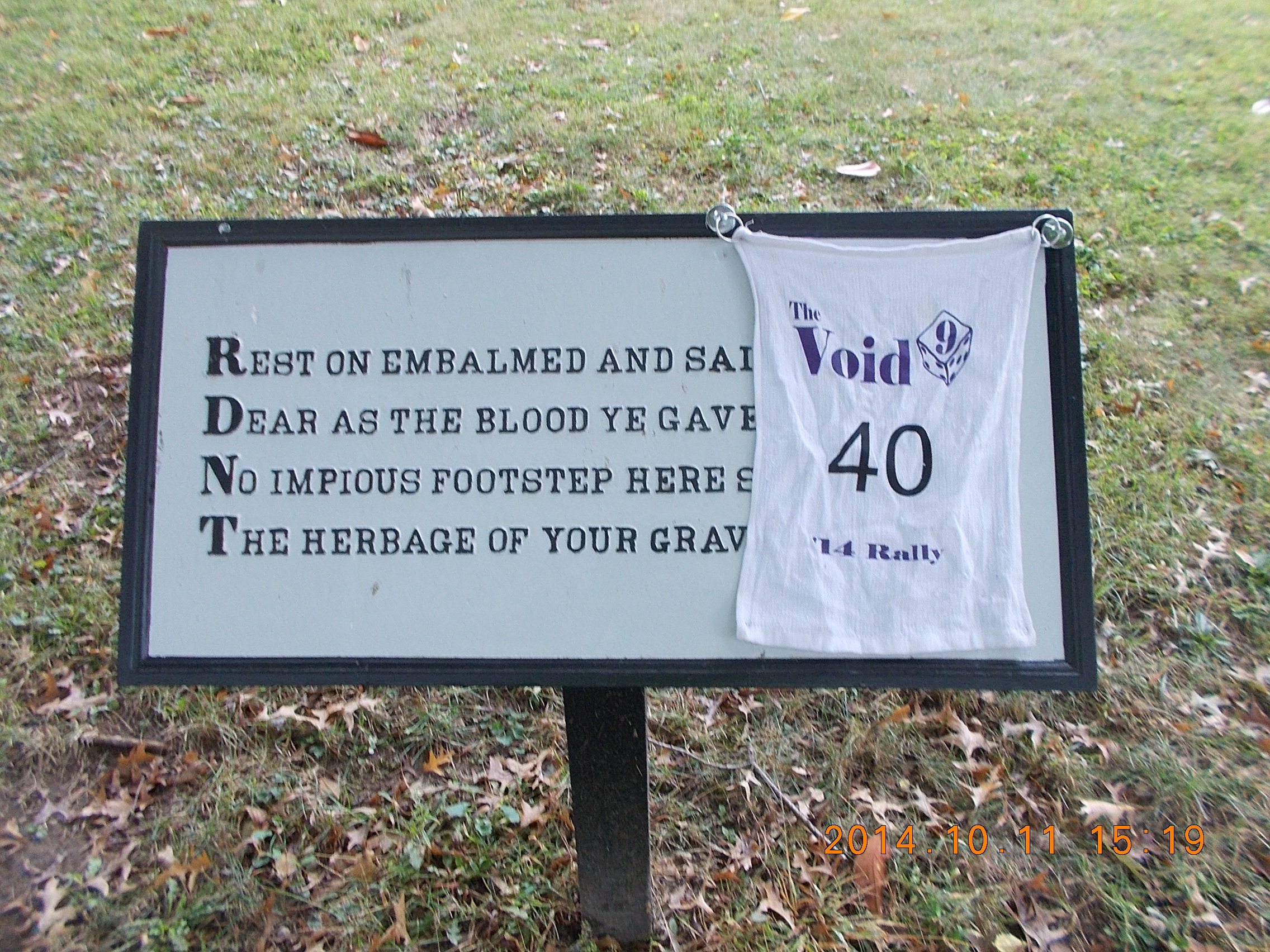
Only 2 hours left, with just over 90 miles and one last bonus left. I know this last leg will take me through Richmond and into Fredricksburg with God knows what kind of traffic to deal with. I have no time to waste, and traffic is indeed getting heavier as I get closer. The finish line ETA stays pretty consistent (Waze is accounting for this traffic), so I continue on to the last bonus to be collected, a plaque containing a verse from Theodore O’Hara’s 1847 poem The Bivouac of the Dead.
As I pull into visitor parking, I see a Gold Wing at the back of the lot, I park across from it and a helpful guide/ranger tells me he’s seen another rider up a path, so I start up that way. I see another rider headed back to the lot (his yellow helmet matches the Wing in the lot) and ask him where the plaque is. He’s frustrated because he hiked far into the park before realizing that wasn’t the “cemetary.” About to give up on what might be a wild goose chase, I notice the cemetery (and the plaques) on the right as I exit the lot. I dart across the street and park near a souvenir shop and look for the plaque. It’s hilly, and there are indeed plaques scattered throughout, but notice the first letters of each line in much larger type. “R–D–N–T” is plainly visible on the very first plaque. Success!
I point out the plaque to the yellow helmeted rider on my way out (we’re all running low on time) and hop on the bike for the last 2 miles of this adventure. Show off the rally sticker (thanks Rachel!), get my envelope, find a free spot in the lot amongst dozens of other bikes, and head inside to find the scoring room.
We’re still on the clock as we fill out our Yahtzee score sheet, but I have one filled out with the values (but not bonus names.) Pull the SD card, review the log, make sure the receipts are in order and fill out the official score card. Seal it all in the envelope and get my finish time recorded – 3:49pm, just 2 minutes to spare!
Leave a Reply